
Density indices: GFZ, AZ, BMZ, ÜZ and GZ explained simply
8 October 2026
PORT Blog
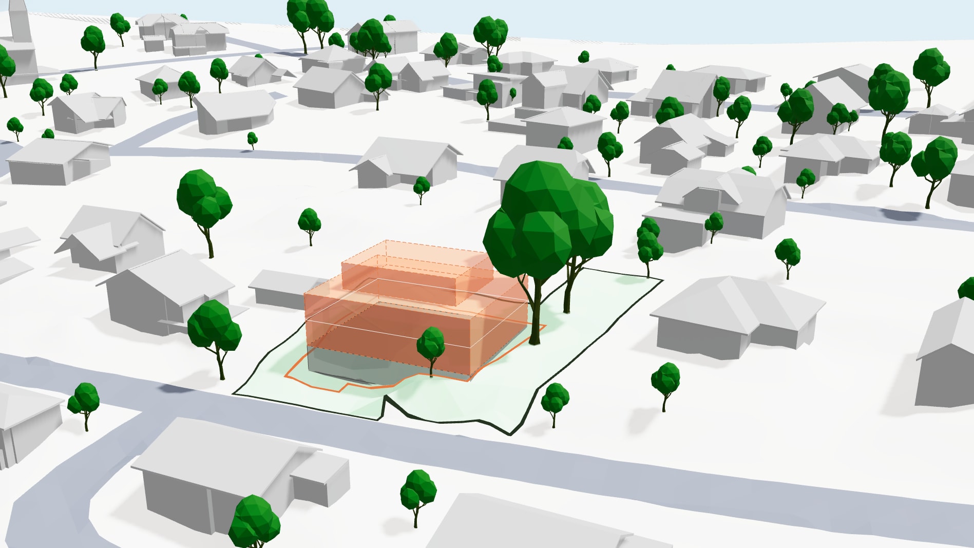
Density indices – how much may be built on your plot
Anyone who wants to know what is possible on a parcel quickly comes across terms such as floor area ratio, site coverage ratio or building mass index. They sound technical – and yet they all answer the same simple question: how densely may one build here?
These density indices are set out in your municipality's building and zoning regulations. They help decide whether a plot has room for a single-family home, an apartment building or nothing more at all – which makes them among the most important value drivers of a property.
We explain the five most important indices in plain words, show how they interact – and what applies when no index is prescribed at all.
What density indices regulate
Every municipality divides its territory into zones. For each building zone, the building and zoning regulations – depending on the canton also called building regulations or building and land-use regulations – define how intensively a plot may be used. In technical jargon, these indices are called «utilization indices». They all put something built in relation to the eligible plot area, i.e. the part of the parcel that lies within the building zone. What is measured differs:
- the floor area – all storeys added together (floor area ratio GFZ, utilization ratio AZ),
- the footprint – how much ground the building covers (site coverage ratio ÜZ),
- the volume – how much space the building takes up (building mass index BMZ),
- the green space – how much of the plot must remain unbuilt (green space ratio GZ).
The five indices at a glance
Floor area ratio (GFZ), utilization ratio (AZ) – the area
The best-known density index, which many also know as the utilization ratio (AZ). It states how much floor area may be built in relation to the plot area. A GFZ of 0.5 means: on a 1'000 m² plot, 500 m² of floor area are possible – whether on one storey or on three, the index leaves open. Many cantons have replaced the AZ with the GFZ as part of the harmonisation of building terms (IVHB); it counts more areas, such as stairwells and walls, and depending on the canton also basements. The values are therefore not directly comparable. Some cantons, including Zurich, continue to work with the AZ.
Put simply: The GFZ and AZ are the floor area budget – how much area you may «spend» in total.
Site coverage ratio (ÜZ) – the footprint
It regulates how much of the plot area may be covered by buildings – regardless of their height. A ÜZ of 0.25 means: on 1'000 m², at most 250 m² may be built over. The rest remains free for the garden, access or the distance to the neighbours.
Put simply: The ÜZ limits the footprint of the house.
Building mass index (BMZ) – the volume
Here, what counts is the above-ground volume of the building, in cubic metres per square metre of plot. A BMZ of 3.0 allows a building volume of 3'000 m³ on 1'000 m². The building mass index is the obvious choice where volume says more than area. Many municipalities also use it in residential and core zones, sometimes instead of the GFZ or AZ.
Put simply: The BMZ determines how big the «box» may be – no matter how many floors you put in.
Green space ratio (GZ) – what must remain free
It works the other way round: it specifies what share of the plot must remain green and unsealed. A GZ of 0.3 means: at least 300 m² of 1'000 m² are green space – parking spaces and driveways do not count. In the canton of Zurich, the open space ratio (Freiflächenziffer) serves a similar purpose.
Put simply: The GZ is the lower limit for the garden.
A simple calculation example
Let us take a plot with 1'000 m² of eligible area in a residential zone with the following requirements:
- GFZ/AZ 0.5 – maximum 500 m² of floor area
- ÜZ 0.25 – maximum 250 m² built over
- GZ 0.3 – at least 300 m² green
- Maximum two full storeys
The 500 m² of floor area must fit on a footprint of at most 250 m² – i.e. on two storeys of 250 m² each. This uses up the floor area budget exactly. If a single-family home with 180 m² of floor area stands on the plot today, there is a calculated reserve of 320 m².
The calculation is deliberately simplified – what counts as eligible is regulated differently by each canton. But it shows the principle: the tightest requirement determines the scope.
Why the indices alone are not enough
Density indices are upper limits – not an entitlement. Whether the maximum can actually be built depends on further requirements:
- Distances, heights, roof forms, access and parking determine where the building may stand and how much area remains for living space.
- Protection requirements such as townscape protection, heritage conservation, noise protection or distances to bodies of water can considerably restrict the potential.
- Bonuses and minimum densities work in both directions: many building regulations grant a higher density for area developments (Arealüberbauungen) or design plans (Gestaltungspläne), and individual cantons also for particularly energy-efficient construction. Conversely, some municipalities prescribe minimum densities so that building land is not used too sparsely.
For owners, this is decisive: whether renovation, adding storeys or a replacement new build is the more sensible route often depends on which requirement limits the scope. Older houses in particular often do not use up the floor area budget that applies today, because many municipalities have adapted their zoning regulations towards inward development since the revised Spatial Planning Act of 2014.
And if no density index applies?
In many zones – often in core zones, but also in some residential zones – the building regulations contain no utilization index. That does not mean you can build as densely as you like: the density then results from the rules that limit the building from the outside – boundary and building distances (which in many cantons grow with the building's length or height), building lines, full storeys, building and ridge height, and building length. In core zones, there are often additional rules on fitting into the townscape.
This is how to calculate in this case – also simplified:
- Determine the building envelope: Subtract the applicable distances from the parcel boundaries. For a parcel of 25 × 40 m with a 5 m distance on all sides, a building envelope of 15 × 30 m remains, i.e. 450 m².
- Multiply by the number of storeys: If two full storeys are permitted, theoretically 2 × 450 m² = 900 m² of floor area are possible – plus an attic or penthouse storey, where permitted.
- Correct realistically: Hardly any building fills the building envelope. Building length, additional setbacks for long buildings, access, parking and a sensible floor plan reduce the result considerably. The figure is an upper limit, not a project.
Without a utilization index, there is therefore no fixed floor area budget – plot shape, distances and height decide. On narrow or awkwardly shaped parcels, the scope therefore often turns out smaller than the size would suggest. Here, a professional review or a potential analysis that factors in distances and heights is almost always needed.
How to proceed
A pragmatic initial check in four steps:
- Determine the zone: In most municipalities and cantons, the zoning plan can be viewed online.
- Read off the requirements: Which utilization indices, numbers of storeys and distances apply in this zone?
- Record the current state: How much floor area and built-over area does your building have today? Building plans or the building permit can help.
- Estimate the scope: Compare the current and permitted values for each requirement – the tightest one determines the scope.
By the way: These steps can be shortened. The PORT potential analysis automatically brings together the zoning plan, the building and zoning regulations and other base data. You enter an address and see – free of charge and without registering – which zone and which indices apply, and what calculated potential could result from them.
Five abbreviations, one question
GFZ, AZ, BMZ, ÜZ and GZ sound like administration. Behind them lies a simple logic: each index describes a different aspect of the same question – how densely may one build? Anyone who knows early on which index or which distance limits the scope saves time, avoids planning mistakes and makes better decisions – whether to hold, renovate, develop or sell.
Would you like to know which density indices apply to your plot – and whether there is untapped potential in it? With the PORT potential analysis, you get an initial, well-founded assessment – free of charge, without registering and with just your address.
TO THE PORT PLATFORM